Web-Based Mapping
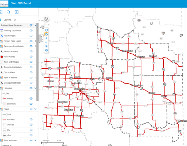
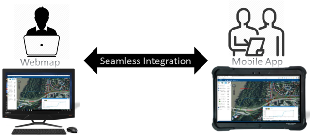
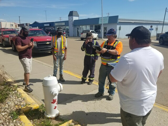
PRMS Municipalities were early adopters of web-based GIS when the first version of the PRMS webmap was developed in 2005. Members and public are now using the 3rd iteration of the webmap which gives advanced mapping abilities to members. With the power to create, edit and delete GIS data with ease, members ensure their data is kept up to date. In order to do this PRMS has put GIS education on the forefront offering free webmap training to all members. Residents and contractors of member municipalities can email Elliot Hall for webmap assistance.